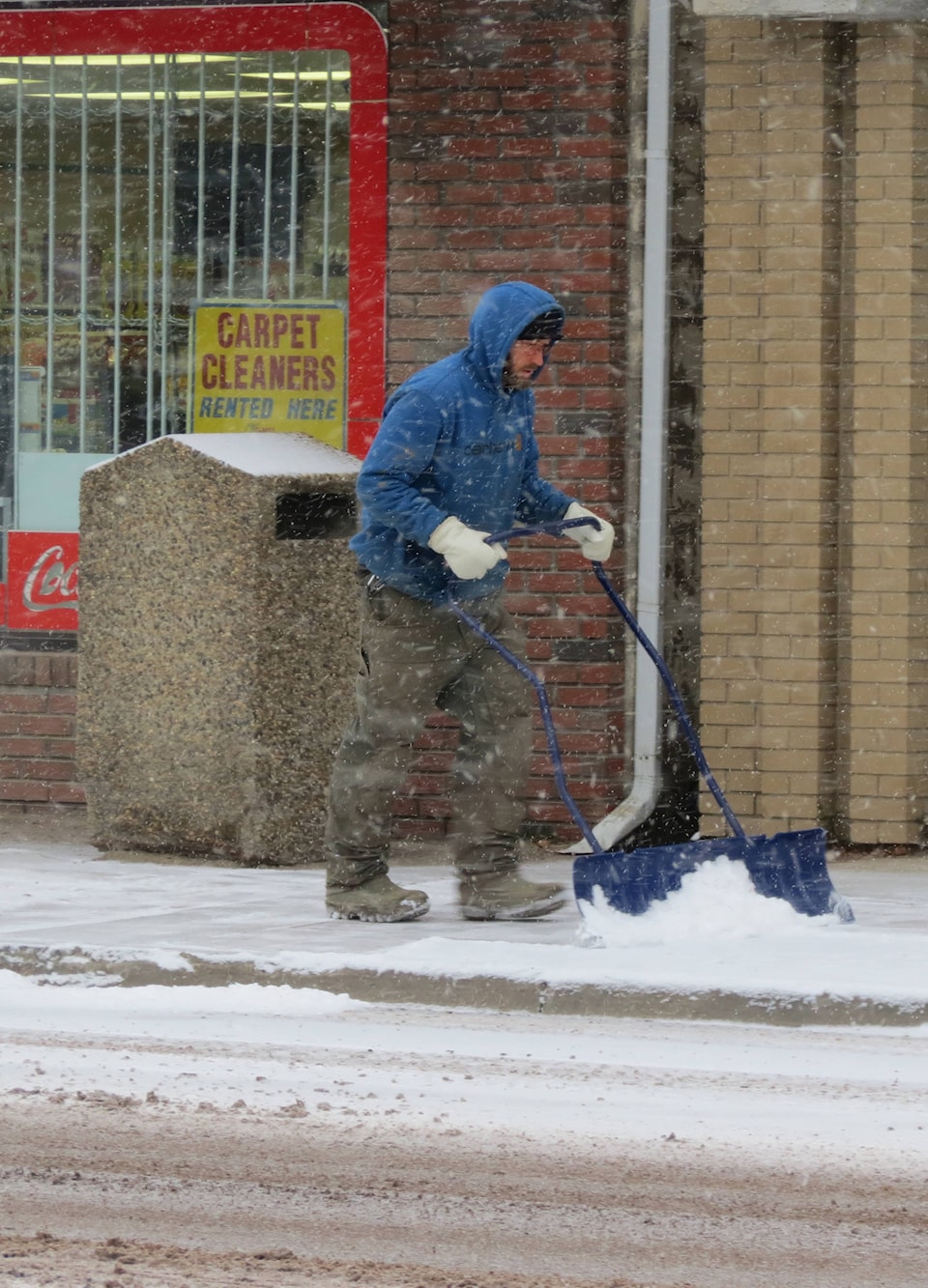
Snow has arrived here in central Alberta, but not enough of the white stuff will fall to warrant snowfall warnings.
The forecast for today is -9C with snow, dropping to minus -11C. According to Environment Canada the snow will continue today and tomorrow with a chance of flurries on Saturday and temperatures going as low as - 11C.
Winds are forecast to gust to 40 km/h and the temperature to stay near -9, so it’s probably time to grab those warm winter woolies to stay warm.
Highway 20 from Rimbey to Sylvan Lake is reported in good driving conditions.
However, Alberta and Environment Canada says up to 40 centimetres of snow could fall in portions of the Foothills before Saturday.
Snowfall warnings were issued for large parts of southwestern Alberta on Wednesday including areas in and around:
• Calgary, Airdrie, Cochrane, Olds and Sundre,Cardston, Fort Macleod and Magrath. Crowsnest Pass, Pincher Creek and Waterton Lakes National Park, Hinton and Grand Cache, Kananaskis and Canmore, Nordegg, Okotoks, High River and Claresholm.
According to Environment Canada, a “slow-moving upper low” over southern British Columbia is expected to bring a prolonged snowfall to the Foothills and southwestern Alberta.
Heavy snow is expected to start falling Wednesday night and continue through Thursday into Friday, before tapering off Saturday morning.
Environment Canada says as much as 40 cm of snow could fall along portions of Alberta’s foothills by Saturday. (Environment Canada)
“Total snowfall accumulations of 15 to 25 centimetres are expected by Saturday morning, with locally higher amounts, up to 40 centimetres, possible along portions of the Foothills,” says Environment Canada’s weather alert.
Environment Canada said it’s keeping an eye on the approaching storm and may adjust its forecasts.